Recently, NASA has developed a new map of the ocean floor by using satellite data from SWOT Satellite.
About SWOT Satellite:
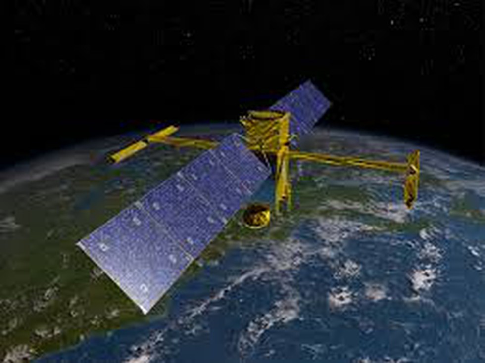
The Surface Water and Ocean Topography (SWOT) satellite was launched in 2022.
It is a joint mission of NASA and CNES (French Space Agency).
Objective: Satellite will collect detailed measurements of how water bodies on Earth change over time.
Features SWOT Satellite:
It uses a specialised instrument called the Ka-band Radar Interferometer (KaRIn) to measure the height, width, and elevation of surface water bodies such as rivers, lakes, reservoirs, and oceans.
SWOT offers high spatial resolution by bouncing microwaves off water surfaces and calculating return time, allowing dynamic water movement tracking.
The satellite covers over 55% of large-scale global floods during their lifecycle through frequent Earth orbits.
The satellite circles Earth and can scan about 90 per cent of the planet every 21 days
Functions of SWOT Satellite:
It is equipped to observe the entire length of nearly all rivers wider than 330 feet and more than 1 million lakes and reservoirs larger than 5 acres.
It will precisely measure fine differences in surface elevations around smaller currents and eddies, where much the oceans’ drawdown of heat and carbon is believed to occur.
Dear Student,
You have still not entered your mailing address. Please enter the address where all the study materials will be sent to you. (If applicable).