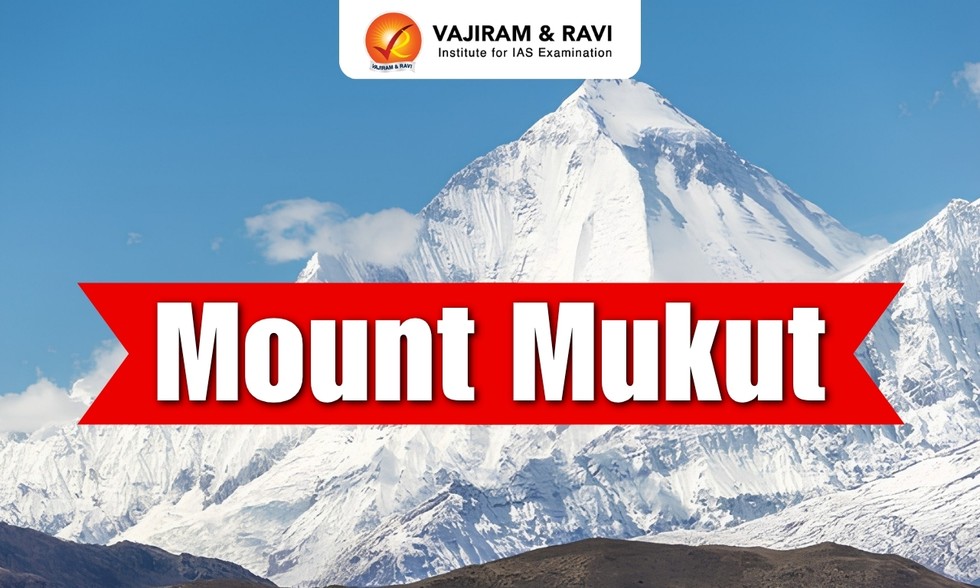
About Mount Mukut:
- Location: It is a high-altitude peak located in the Garhwal Himalaya of Uttarakhand, India, in the Zaskar Range near Mount Kamet.
- It is part of the Gangotri Group of peaks and lies in the western Garhwal Himalayas, within the Nanda Devi Sanctuary.
- The peak is notable for its distinctive crown-like shape, which gives it the name “Mukut,” meaning crown in Hindi.
- It occupies a transition zone between the greener, monsoon-influenced valleys of Garhwal and the dry, elevated landscape of the Tibetan Plateau.
- The peak was first climbed in 1951 by a team from New Zealand which included Edmund Hillary and George Lowe.
- Topography: Its upper slopes consist almost entirely of exposed rock, permanent snow, glacier ice, and wind-scoured ridges.
Key Facts about Garhwal Himalaya
- It forms the western part of the Central Himalayas and lies mainly in the Garhwal region of Uttarakhand.
- It stretches from the Tons River in the west to the Kali River in the east.
- The region shares its northern boundary with Tibet (China) and the southern boundary with the Shivalik Hills.
- Rivers: It has numerous rivers including the Bhagirathi, Alaknanda, Mandakini, and Yamuna.
- Flora: Dense forests of pine, oak, deodar, fir, and rhododendron.