A tropical cyclone named Gamane that swept across the island of Madagascar killed at least 18 people and displaced thousands more, the country's disaster management office said recently.
About Madagascar:
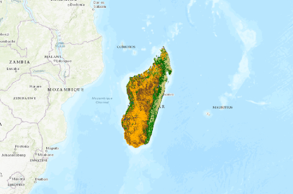
Located off the coast of East Africa in the Indian Ocean, Madagascar is the second-largest island country in the world.
It covers an area of 592,800 sq. kilometers.
Geography: The country can be divided into three parallel longitudinal physiographic regions.
The coastal strip in the east, the central plateau and the western regions of low plateaus and plains.
The Tsaratanana Massif region at the northern end of the island is home to Madagascar's highest point, Maromokotro, at 2,876 m.
History:
France invaded the island in 1883. France officially declared Madagascar a French colony in 1896.
After World War II, in 1947, locals fought for their independence from France in what became known as the Malagasy Uprising. In 1960, Madagascar finally became an independent nation.
Capital: Antananarivo
Languages: Malagasy, French
Government: It is a semi-presidential republic. The public elects a president, who in turn appoints a prime minister to put together a cabinet to advise the president.
Economy: Eighty percent of Madagascar’s economy is fueled by agricultural industries, including forestry and fishing. Among the island’s most frequently sold agricultural products are coffee, vanilla and sugarcane.
Biodiversity:
Lush rainforests, dry deserts, and grassy plains cover the island, with coral reefs and mangrove forests stretching along its coastlines.
Almost 90 percent of the plants and animals living on Madagascar aren’t found anywhere else in the world. That’s because strong ocean currents have isolated the island from the African continent, so the species living there haven’t traveled beyond the island’s borders.
Dear Student,
You have still not entered your mailing address. Please enter the address where all the study materials will be sent to you. (If applicable).